


Geographical Map of the Antilles - Venice 1785
€ 250,00
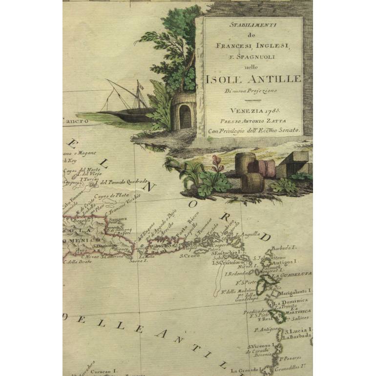
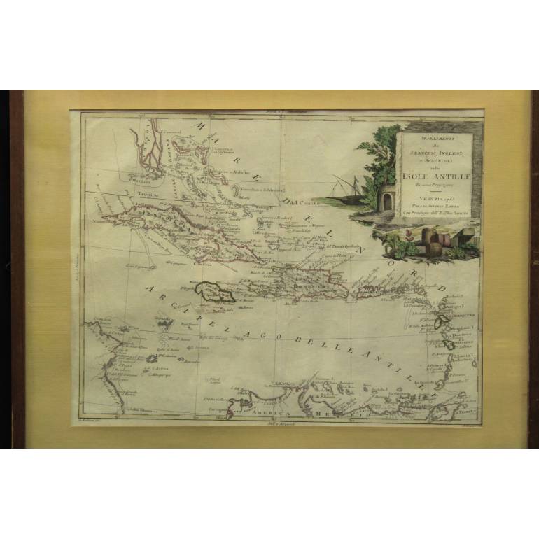
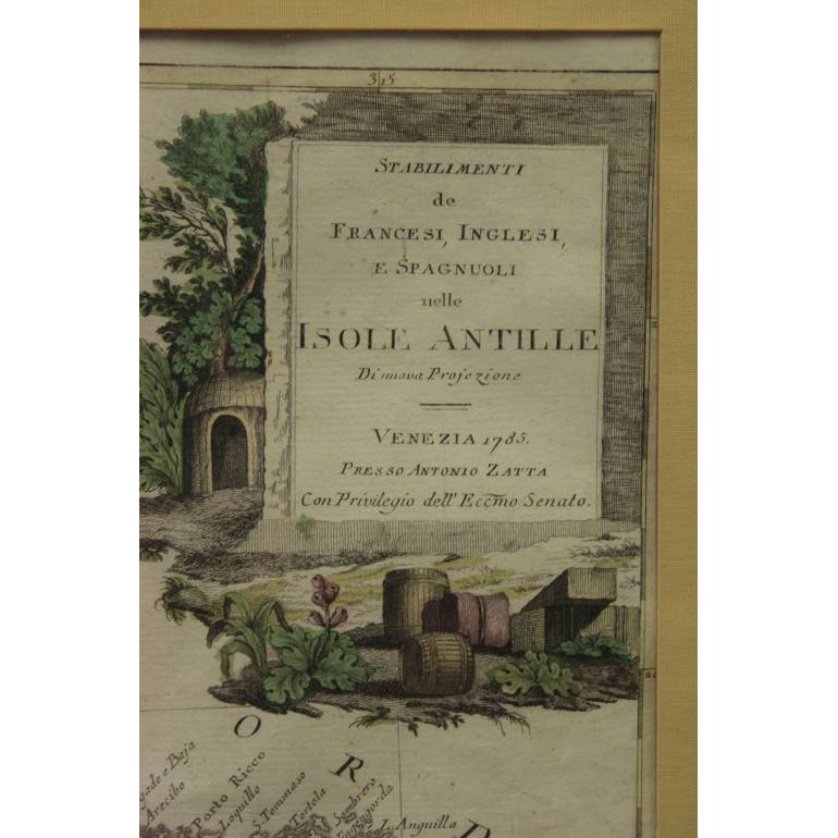
Original detailed map of the archipelago of the Antilles,
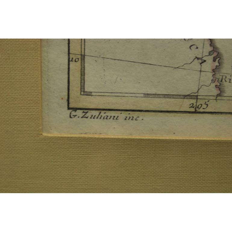
entitled "Establishments de French, English and Spanish in the Antilles Islands" - New Projection, signed in plate (bottom right margin) "G. Pitteri ser." and on the lower left margin "G. Zuliani inc.".
Etching print on copper plate, watercolored, on watermarked paper,
Imprinted in Venice in 1785 by Giovanni Pitteri on an engraving by Giuliano Zuliani (lower left margin) and inserted in the work of Antonio Zatta “Atlante novissimo, illustrated and enhanced by observations and discoveries made by the most famous and most recent geographers”.
Multiple datable between the end of the eighteenth century. and the first half of the 19th century,
in excellent state of conservation, as shown in the photographs. Within a wooden frame, with glass and passe-partout.
Sheet size: 42 x 32 cm;
Frame size: 54 x 45 cm.
![]()
| epoca: | XVIII - XIX sec. |
| dimensioni: | cm 42 x 32 |
| materiali: | stampa da incisione su lastra di rame |
| Lo trovi in | Prints |
| quantity | 1 |
| reference | #25393 |
| Tags: | |
| Sales information | The price of the product is inclusive of VAT and shipping costs. shipping included for Italy |
| Share on: |
What do you think about this product?
If you know this product and want to share your experience with other users, every feedback is welcome
Share on facebook
Do you think this is an interesting offer? Share Geographical Map of the Antilles - Venice 1785 on facebook, you will get a 5% coupon valid on your next purchase!
